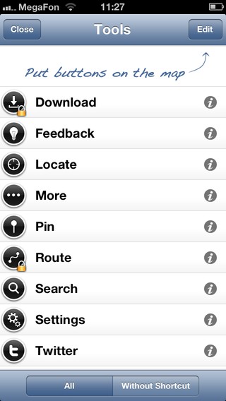
OpenMaps is an app which is a system of street level vector maps including integration with Twitter and GPS navigation.
The app will not only add these maps on your mobile gadget, but also offer several extra functions which will please you.One of such functions is possibility of offline work which seems to be especially useful for iPod Touch users.


How does OpenMaps work? With the help of GPS locator the app will define where exactly you are and how to get to the marked destination point. The route planning supports different means of transport: car, bicycle of walking directions. Additional stop points or places can be added to the route, you can also use favorites for your future routes.
OpenMaps can integrate into social nets. Maps can show all info not only about your current location, but also about near objects and people surrounding you.


OpenMaps and Twitter are closely connected and can show your twits by geotag, so that you can even get talks which happen near to you right from the satellite. If you want to report others about your location, you can write in your microblog about where you are going and what happens nearby. Trips are so much easier with OpenMaps!


Advantages:
- ability to work offline;
- user-friendly interface.
Disadvantages:
- only for iOS.
|
|
Developer: Operation system: Price: Rating: |
IZE, Ltd iOS Free 4 out of 5 |
Download from iTunes 
|
|---|


